The European space agency has taken the most detailed composite picture of the earth ever.
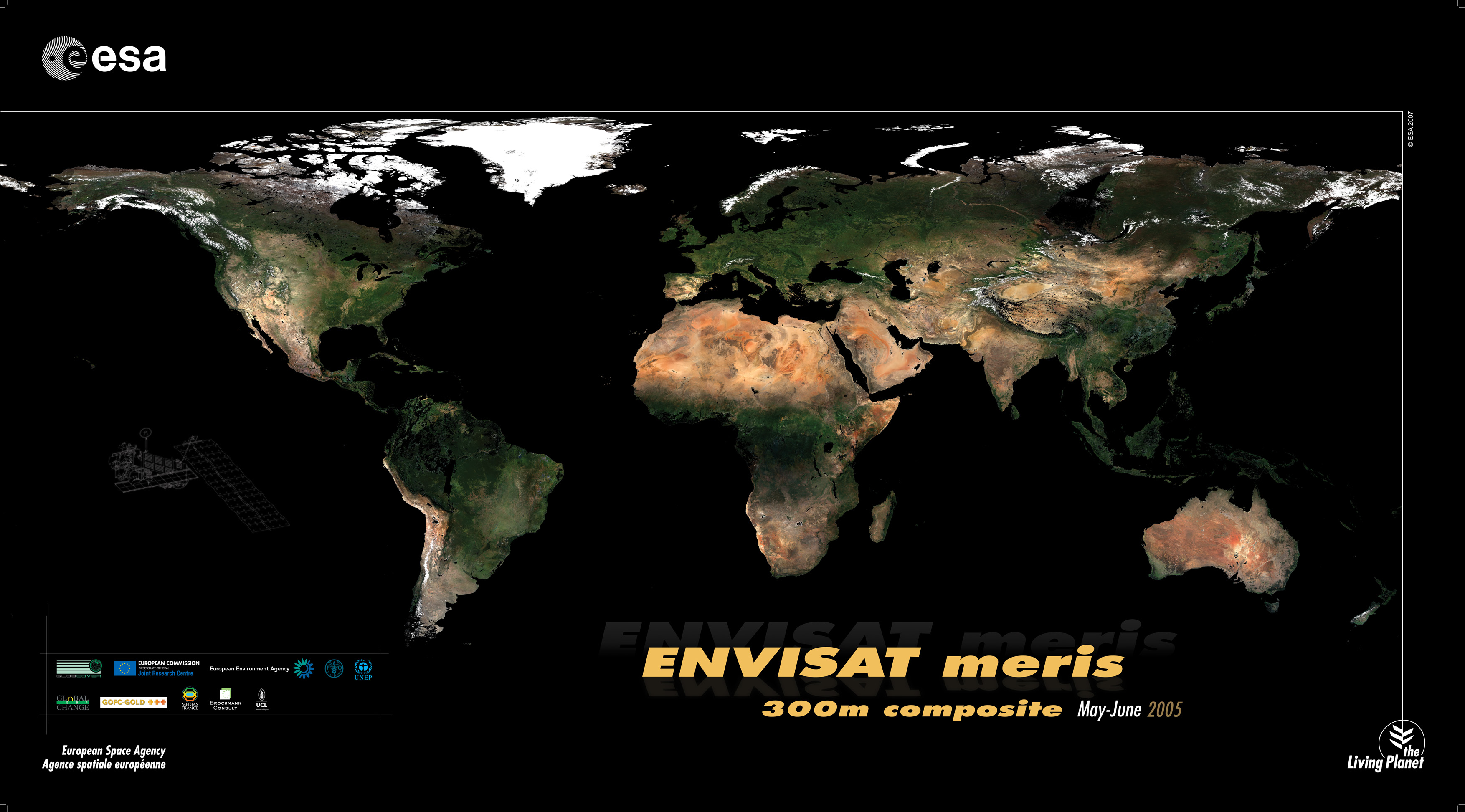
GlobCover bimonthly global composite for May to June 2005 based on Envisat’s Medium Resolution Imaging Spectrometer (MERIS) instrument working in Full Resolution Mode with a spatial resolution of 300 metres.
Around 40 terabytes of imagery – an amount of data equivalent to the content of 40 million books – were acquired between December 2004 and June 2006 and processed to generate the global composites. The composites will support the international community in modelling climate change extent and impacts, studying ecosystems and plotting worldwide land-use trends.
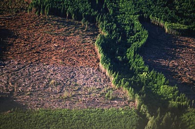
An example of another image taken with the satellite.
dude wheres the link to the torrent
I think they missed a continent. Where’s Antarctica?
not only that but if you look really closly you will see they also missed north and south korea.